Local Government Services
About Local Government Services
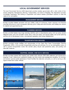
As the extension of our 44 municipal and county governments, the CFCOG provides a comprehensive menu of Local Government Services customized to the unique communities we serve. We provide member governments with a wide variety of services in four broad categories: Management, Planning, Transportation, and Data & Mapping. The department provides knowledge, experience, and manpower to supplement and extend the abilities of member government staff to meet the man needs of local government.
We offer a range of Management Services designed to support local government functions. This includes conducting personnel and pay studies, creating codes of ordinances, providing human resources and financial consulting, and developing strategic plans. We also assist with infrastructure asset management planning, grant writing and administration, professional facilitation, governing board retreats, and training for staff and elected or appointed boards.
Our Planning Services encompass a variety of activities. For long-range planning, we develop comprehensive plans, land use plans (including CAMA land use plans), hazard mitigation plans, park and recreation master plans, small area plans, and special studies. Current planning services involve development review, regulations, zoning administration, and part-time or interim staffing. We also facilitate regional initiatives to address planning needs.
We staff and provide the administration for the Cape Fear Rural Transportation Planning Organization (RPO), which focuses on transportation planning and advocacy for non-metropolitan areas. Our Transportation Services also include conducting special studies such as corridor plans, bicycle and pedestrian plans, and inventories of parking and sidewalks.
Mapping, Design, and Data Services
Within our Mapping, Design, and Data Services we provide support to local governments via GIS mapping and spatial data analysis, GPS data collection, and infrastructure mapping. We offer 2- and 3-dimensional renderings, visualizations, and conceptual designs. Additionally, we maintain spatial databases of local facilities like sidewalks and parks and serve as the regional State Data Center Affiliate, offering access to statewide datasets and Census-related services.


